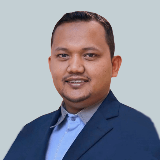
Dr. Hamdan Omar
GIS & Forestry Mapping
Dr. Hamdan Omar’s public profile sits at the intersection of geospatial technology and forestry. FRIM’s technical services listing names him for Aerial Photography (UAV) & Orthophoto Production and GIS Data Development & Resource Mapping, while his Google Scholar profile associates his work with remote sensing, forestry, and GIS. Public scholarly sources also connect his research to mangrove mapping and monitoring, showing a practical focus on spatial intelligence for ecosystem management.
His achievements include winning FRIM’s reported Best Paper Award in 2016 and co-authoring the book Lata Kekabu, Lenggong Permata Yang Tersembunyi, which FRIM reported received the 2022 National Book Award. FRIM publication records also credit him on titles such as Status of Mangroves in Malaysia and Manual Kerja Lapangan Survei Karbon Hutan, reflecting both technical depth and applied contribution to Malaysian forestry, carbon, and environmental knowledge.
From a consultant perspective, Dr. Hamdan can help companies convert field conditions into decision-ready spatial data and practical management insight. Based on his documented service areas and research profile, he is well suited for UAV mapping, GIS database development, forest and mangrove resource assessment, carbon and biomass-related projects, restoration monitoring, and technical reporting for conservation, land management, and climate-linked initiatives.